Archive Entry
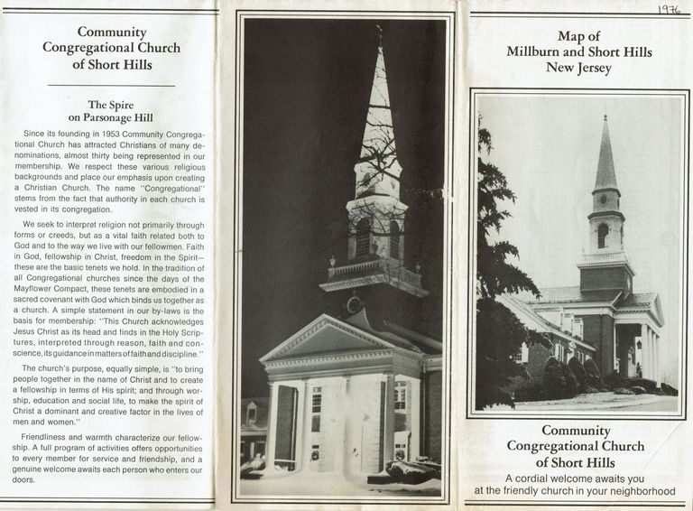
Map: Millburn and Short Hills, New Jersey, c 1965
Map
Ca. 1965 map of Millburn and Short Hills, from Community Congregational Church at the corner of Parsonage Hill Road and Hartshorn Drive. The map was apparently given to prospective or new members of the church and features interior photos of the church. The date for the map was approximated from the fact that Deerfield School, which opened in 1962, appears on the map. Short Hills Country Day School is no longer listed, but Pingry is listed.
2023.044.003
2023.044
Folded
8 in
3-3/4 in