Archive Entry
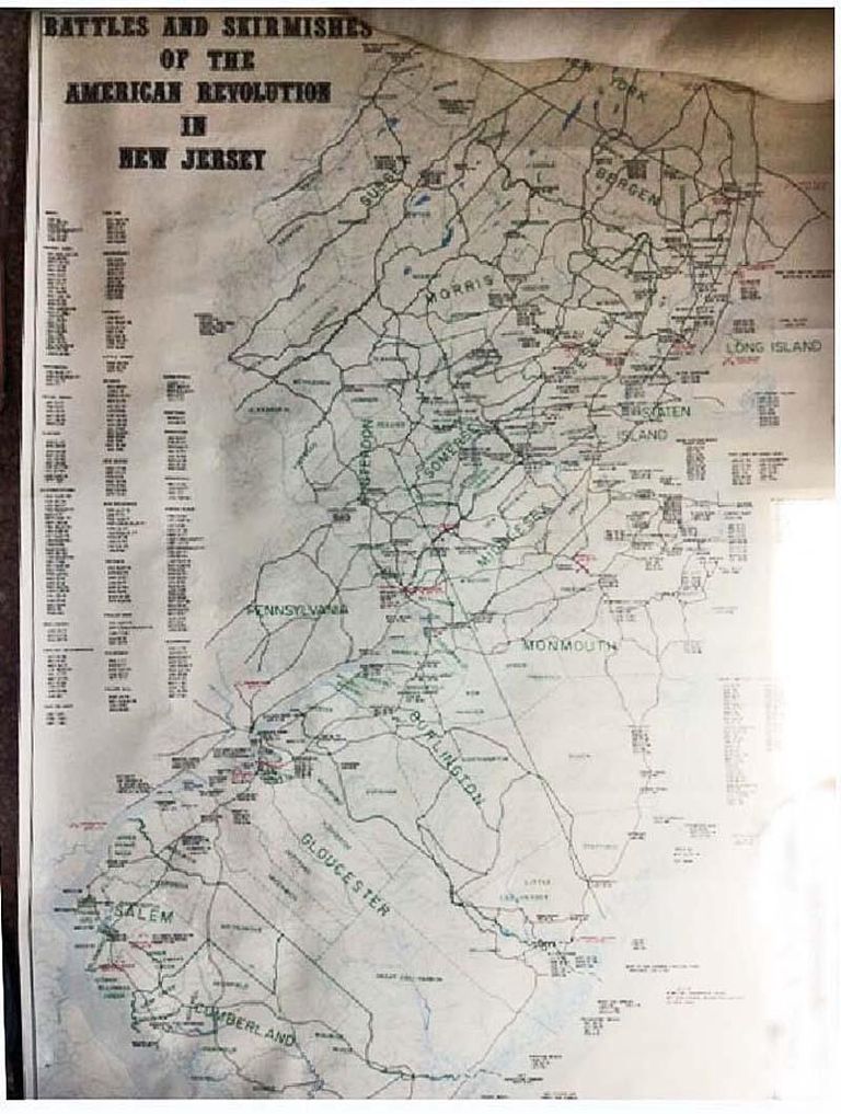
Map: Battles and Skirmishes of the American Revolution in New Jersey Map
Map
Lightly colored map labeled: "Battles and Skirmishes of the American Revolution in New Jersey." Text in the bottom right corner notes: "By John D. Alden, C.E. Historian, New Jersey Society, Sons of the American Revolution., 1945. Revised by D. Stanton Hammond, J.D., for the society. Further revision by D. Stanton Hammond with Kemble Widmer, New Jersey state geologist and David C. Munn, historical editor, archives and history bureau, New Jersey State Library, 1973. Political boundaries with permission of John P. Snyder.
This map shows the numerous battles and skirmishes that occurred in New Jersey as verified in historical records. The locations and dates of the major battles are shown in red with large crossed swords. The minor battles and skirmishes are shown in red with smaller crossed swords.
Because of the many engagements that occurred in the neutral ground, the area from New Brunswick and Amboy northward to Paramus and Closter the dates are listed on the left of the map. The colonial place names are used, and the locations are accurate within the physical limitations of the map.
Whenever possible, the natural features of the Jersey coast have been restored to their approximate location for the decade 1770-1780. Cape May has been extended, Sandy Hook altered and Brigantine and Long Beach moved seaward.
The road network is only representative and is included for the purpose of suggesting the major travel routes of the period, with due consideration to the local topography.
County and township names are those which were in existence during the Revolutionary War as they appear in THE STORY OF NEW JERSEY'S CIVIL BOUNDARIES by John P. Snyder.
Available from: Map and Publication Sales, Dept. of Environmental Protection, Bureau of Geology and Topography, Box 1889, Trenton, N.J. 08625
The map is clean and undamaged, except for moderate edgewear and small creases sprinkled along the edges..
2019.025.005
2019.025
1973
28 in
47 in