Archive Entry
Millburn-Short Hills Map Ca. 1956; National State Bank
Map
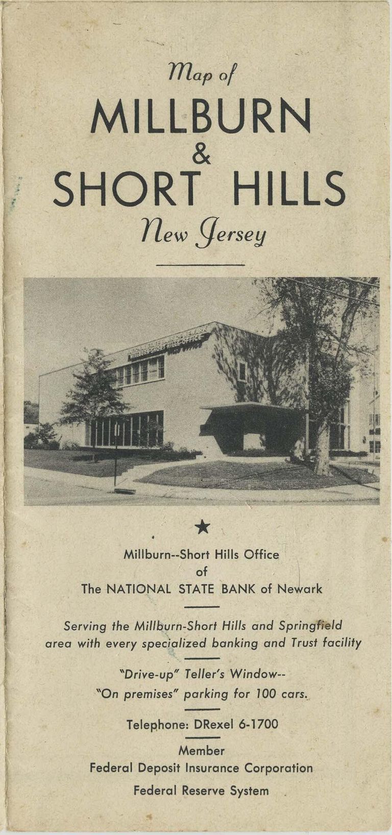
Undated, but ca. 1956 map of Millburn Township in Essex County, NJ. The map was apparently printed for the National State Bank of Newark's Millburn-Short Hills office at 397 Millburn Avenue in Millburn. The front cover of the (folded) map has photos of the National State Bank and when unfolded that same side has b/w photos of local schools and the Racquets and Short Hills Clubs. The reverse side is a map of Millburn and Short Hills. The map is yellowed overall, but especially on the panels that were exposed to light damage when the map was folded. The yellowing is a bit more obvious around the edges of the map. The fold lines in that same area are soiled and worn. There are a few 'flea bites' on the long edge below the cover panels (labeled "Map of Millburn & Short Hills New Jersey). There are four small light brown stains on the map side. One is on the compass-points graphic -- and on the spot that that stain would touch when the map is folded in half. to the left of the compass graphic is a 1/8" dia. brown something stuck to the map. There is a corresponding stain above it, where it would touch when the map is folded in half. Purchased on eBay from Bill Turk; PO Box 458; Bushkill PA 18324.
2015.033.001
2015.033
1956
22-3/4 in
16 in
