• Skip to primary navigation
  • Skip to main content

Millburn-Short Hills Historical Society

  • About
    • Trustees
  • Explore
    • The Archive
    • The Map Room
    • The Thistle
  • Community Projects
    • Virtual Walking Tours
    • Historical Interviews
    • Special Places Reports
  • Exhibitions
    • Millburn and The Civil War
  • News
  • Become a Member
  • Donate
  • About
    • Trustees
  • Explore
    • The Archive
    • The Map Room
    • The Thistle
  • Community Projects
    • Virtual Walking Tours
    • Historical Interviews
    • Special Places Reports
  • Exhibitions
    • Millburn and The Civil War
  • News
  • Become a Member
  • Donate

Archive Entry

Archive Entry

Go back
Prev Item Next Item

Map: Millburn & Short Hills from Community Congregational Church, c. 1965

Map
Ca. 1965 map of Millburn and Short Hills, from Community Congregational Church at the corner of Parsonage Hill Road and Hartshorn Drive. The map was apparently given to prospective or new members of the church and features interior photos of the church. The date for the map was approximated from the fact that Deerfield School, which opened in 1962, appears on the map. Short Hills Country Day School is no longer listed, but Pingry is listed. Much edgewear and numerous small tears along the edges. Ca. 1.25" tear along center fold, at right side. Light overall soiling. Donor found it in her house.

2013.027.001

2013.027

1965

22 in

16 in
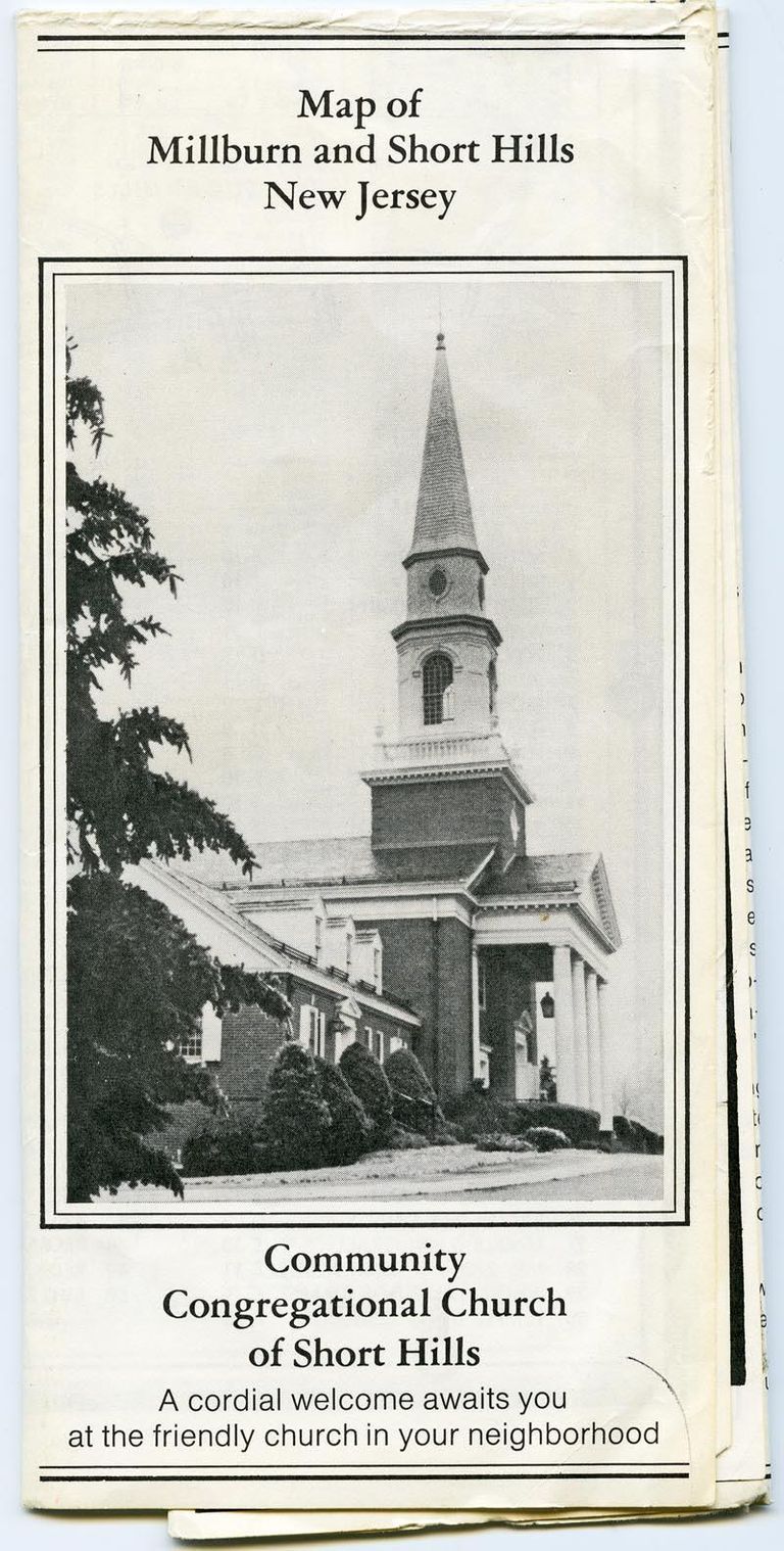
         Map: Millburn & Short Hills from Community Congregational Church, c. 1965 picture number 1

PO Box 243 | Short Hills, NJ 07078 | phone: (973) 327-3258 | email: info@mshhistsoc.org PO Box 243
Short Hills, NJ 07078
phone: 973-327-3258
© 2026 The Millburn–Short Hills Historical Society | Privacy Policy
Website Designed and Developed by New Frontier, Millburn NJ