• Skip to primary navigation
  • Skip to main content

Millburn-Short Hills Historical Society

  • About
    • Trustees
  • Explore
    • The Archive
    • The Map Room
    • The Thistle
  • Community Projects
    • Virtual Walking Tours
    • Historical Interviews
    • Special Places Reports
  • Exhibitions
    • Millburn and The Civil War
  • News
  • Become a Member
  • Donate
  • About
    • Trustees
  • Explore
    • The Archive
    • The Map Room
    • The Thistle
  • Community Projects
    • Virtual Walking Tours
    • Historical Interviews
    • Special Places Reports
  • Exhibitions
    • Millburn and The Civil War
  • News
  • Become a Member
  • Donate

Archive Entry

Archive Entry

Go back
Prev Item Next Item

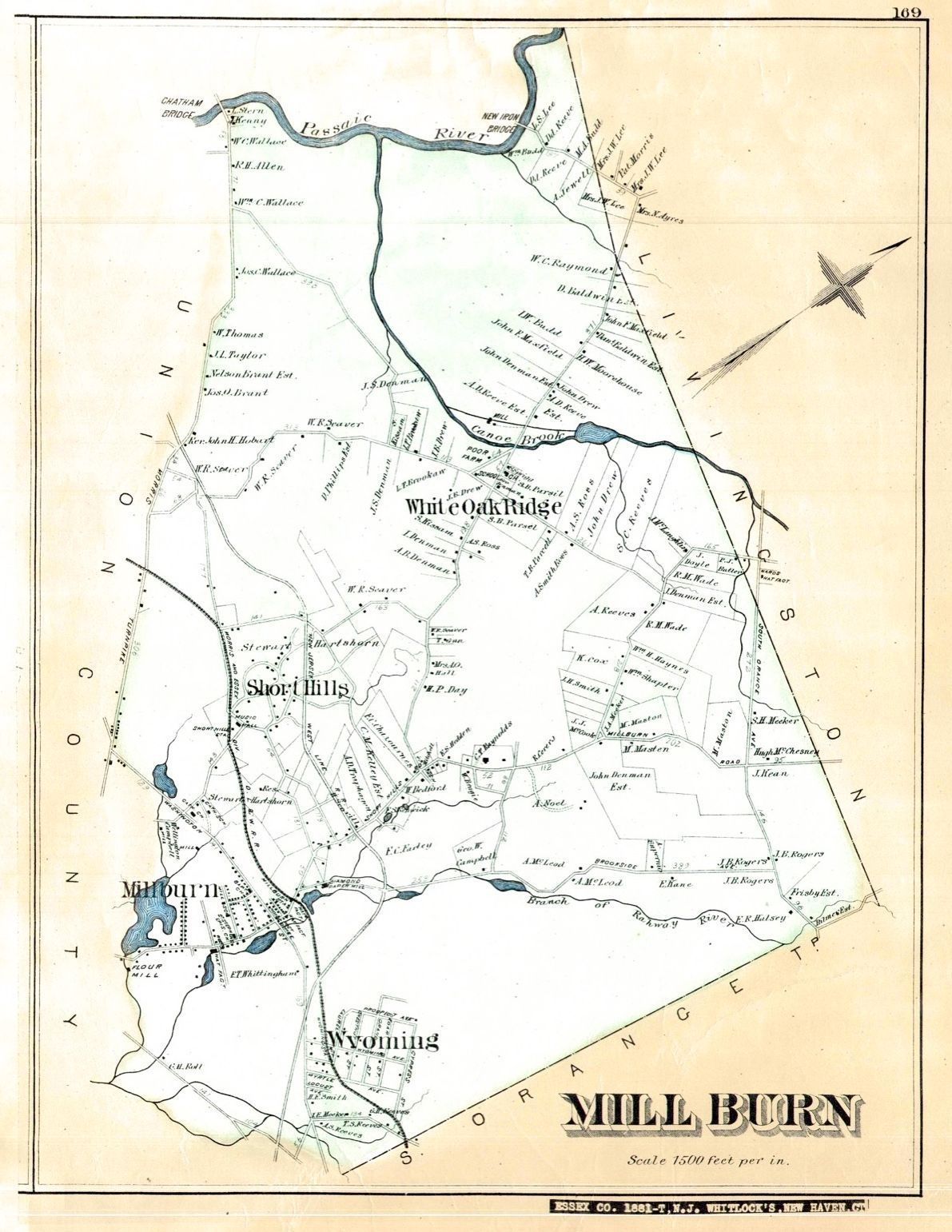
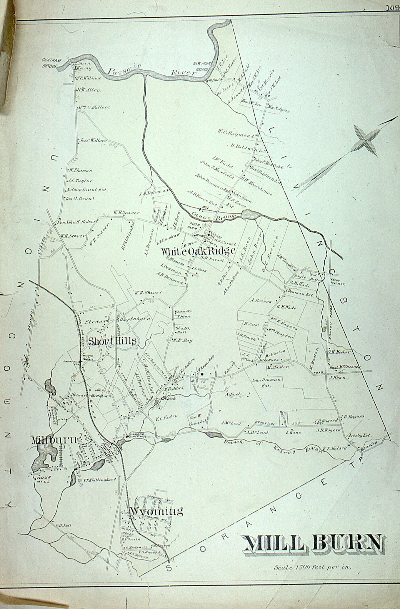
Map: Robinson's Atlas of Essex County, Millburn, 1881

Map
Photograph of an 1881 map of Millburn (incl. Short Hills, Wyoming, White Oak Ridge areas), from the 1881 Robinson Atlas of Essex County. The map is sometimes referred to as the Whitlock map, in reference to the antique map dealer from which the map was purchased.

2024.026.187

Owen Lampe Slides

2024.026

1881

15-1/2 in

20 in
Robinson's Atlas of Essex County, 1881 at NYPL

         Map: Robinson's Atlas of Essex County, Millburn, 1881 picture number 1
         Map: Robinson's Atlas of Essex County, Millburn, 1881 picture number 1
            Map: Robinson's Atlas of Essex County, Millburn, 1881 picture number 2

PO Box 243 | Short Hills, NJ 07078 | phone: (973) 327-3258 | email: info@mshhistsoc.org PO Box 243
Short Hills, NJ 07078
phone: 973-327-3258
© 2026 The Millburn–Short Hills Historical Society | Privacy Policy
Website Designed and Developed by New Frontier, Millburn NJ